Elizabeth Street, looking South, Melbourne
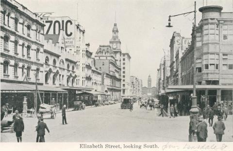
Elizabeth Street, looking South, Melbourne
Publication Title:
Publisher:
Contributor:
Genre:

Melbourne’s central city area has traditionally been defined as the 'Golden Mile', which is the checker-board survey by the government surveyor, Robert Hoddle, who in 1837 fixed a township of six blocks by four blocks. The boundaries were Spencer, La Trobe, Spring and Flinders Streets.
Elizabeth Street, looking South, Melbourne

St Patricks Cathedral (building completed in 1897), 1978
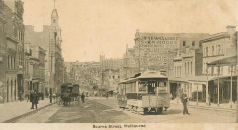
Bourke Street, Melbourne, 1904
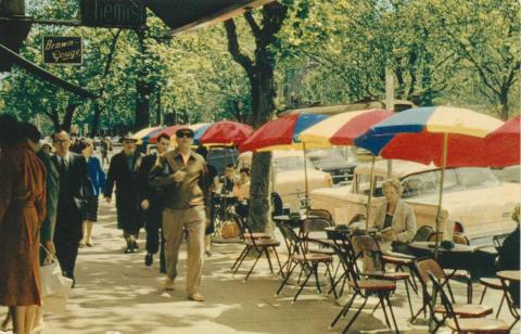
Sidewalk restaurant, Collins Street, Melbourne
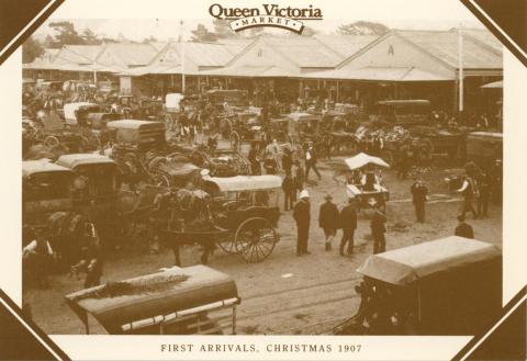
Queen Victoria Market, Melbourne

Swanston Street, Melbourne
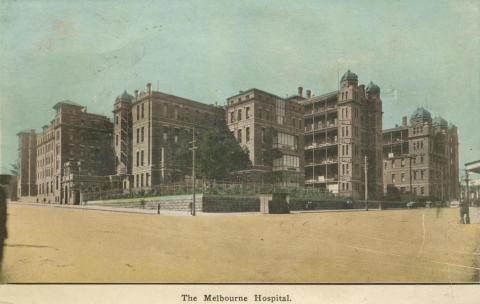
Melbourne Hospital, Swanston Street, Melbourne, 1917
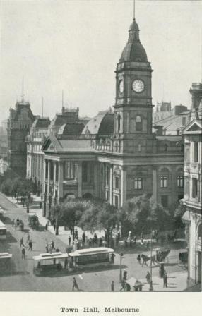
Town Hall, Melbourne, 1918

Royal Insurance Building, entrance to head office, Melbourne, 1940

Herald-Sun Building, Flinders Street, Melbourne, 1957

Copyright © Victorian Places, 2015. All rights reserved.